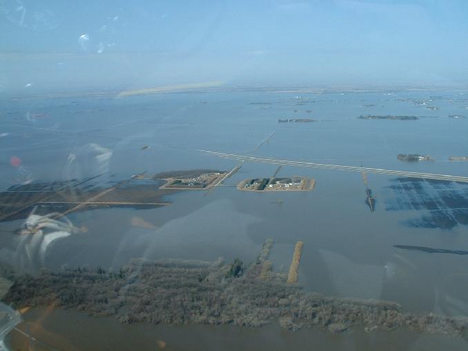
Looking west with the Red River at the bottom of the shot. Hwy 75 still disappears into the deep close to road 27N. More land is visible and our island on the right and Allen Snarr's on the left have more land mass and are no longer islands as they are now connected to the rest of Manitoba! Many of the neighbours across Hwy 75 to the west are still islands. The Hwy holds back a lot of water.
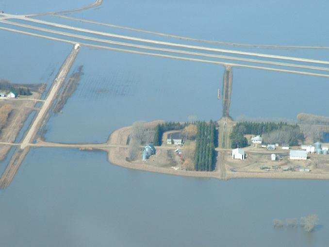
A closer shot still looking west of our yard on the right and Allen Snarr's on the left. The bright white section of Road 27N where it meets the east service road of Hwy 75 is about 100 feet of freshly laid crushed rock over what was the worst washed out section of road 27N. It's only passable now for light traffic and very rough yet. You can also see the harrow lines in the field as it emerges.
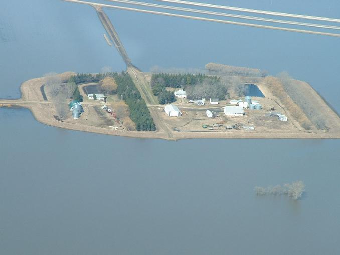
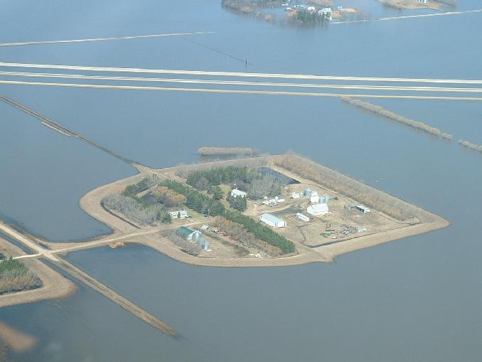
An even closer shot still looking west of our yard. You can see our dirt mailbox road is now above but is still in rough shape and impassable until it dries some more and is leveled off again.
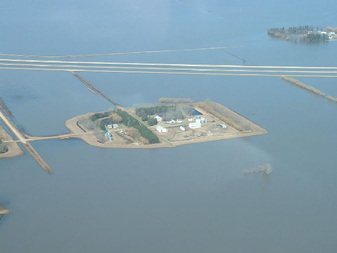
Another shot looking slightly NW and showing our yard in the middle and Brian Kalssen's yard in the top right. Brian's place is still and island.
Another shot looking slightly NW shows the status of road 6E which runs left to right at the top of the picture. The coulee that runs between our yard and the line of tree on the north side of our yard, also flows past the south side of Brian Klassen's yard and it what is flooding road 6E in this picture.
Go back to the main 2009 Farm Flood page.
Last updated May 07/09