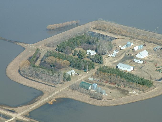
A close up of our yard looking NW. You can see the pile of ruined oat straw bales near the bottom left hand corner next to our access road.
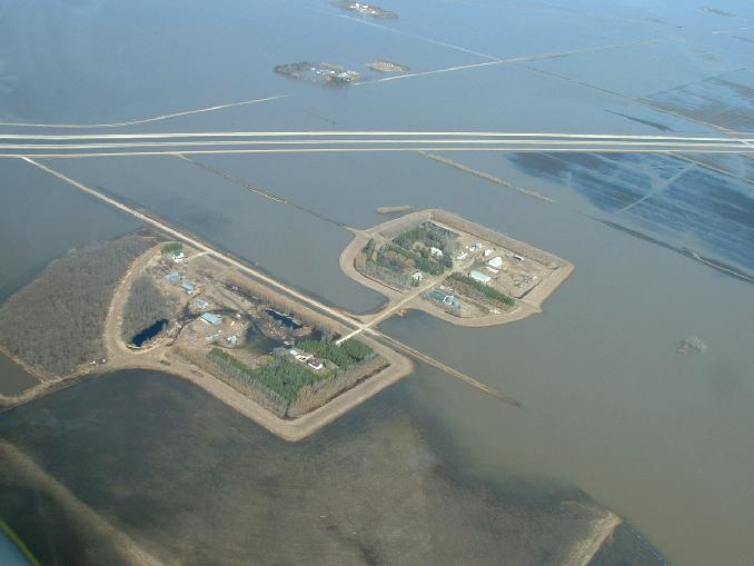
An interesting shot looking NW. From bottom to top is Allen and John Snarr's yard, our yard, Brian Klassen's yard and Don Hamblin's yard. Allen now has land connecting to his dike on the SE corner of his dike.
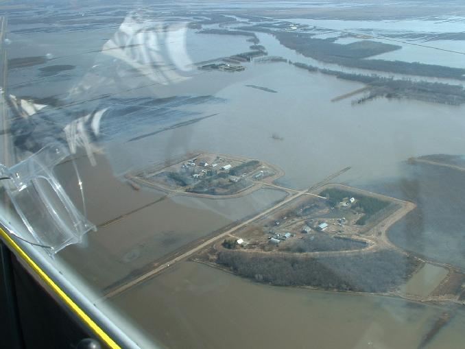
A shot looking NE. This one shows what was our boating route to the parking lot on Hwy 75. Gord would lanch the boat on the most eastern part of road 27N between the two yards and head across field to the double row of trees below the yard. he'd then follow the trees along the river and around the east side of the nieghbours yard through the break in the tree and into the river. He'd then head north on the river until the next break in the trees which is at the big coulee 2 miles north of the yard. he'd then head up the coulee across another submerged road and up to the Hwy near road 30N. About a 15-20 minute trip.
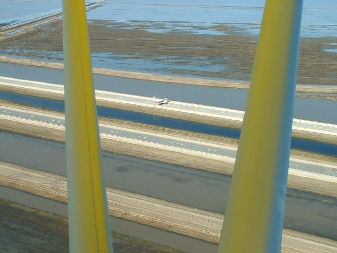
When Dale flew past this time, he had company with him that couldn't resist a touch and go on Hwy 75!
Go back to the main 2009 Farm Flood page.
Last updated May 07/09